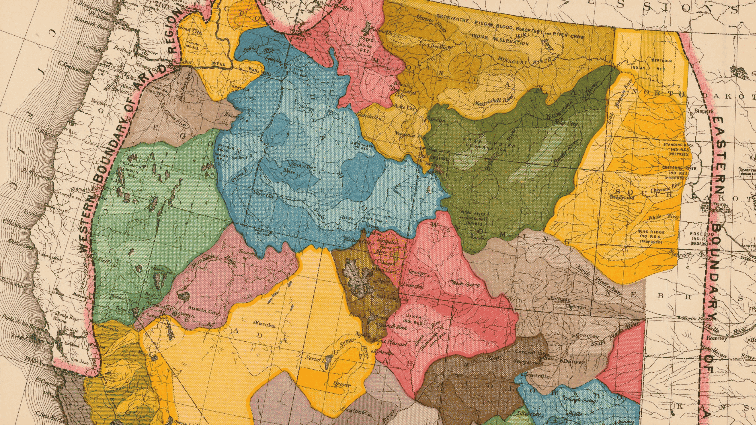
An Old Map Could Provide a New Vision for Water Management in the West
1.44k
There are a lot of cartographic ways to envision the Colorado River Basin. We now have high-definition satellite imagery that tells us nearly to the minute what the earth looks