The Colorado River Basin, by the numbers
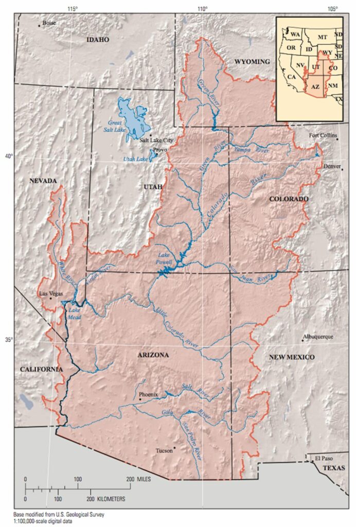
The Colorado River Basin is in crisis, scream headlines. But what exactly is the Colorado River Basin (CRB)? We dug into the geographic data using the USGS Streamer tool to help put the statistics in those stories into geographical context. The figures below are just for the portions of the CRB that lie within the United States. Mexico is home to the river’s outlet into the Pacific Ocean, as well as dozens of mostly seasonal tributary streams and washes that flow north across the border into Arizona.
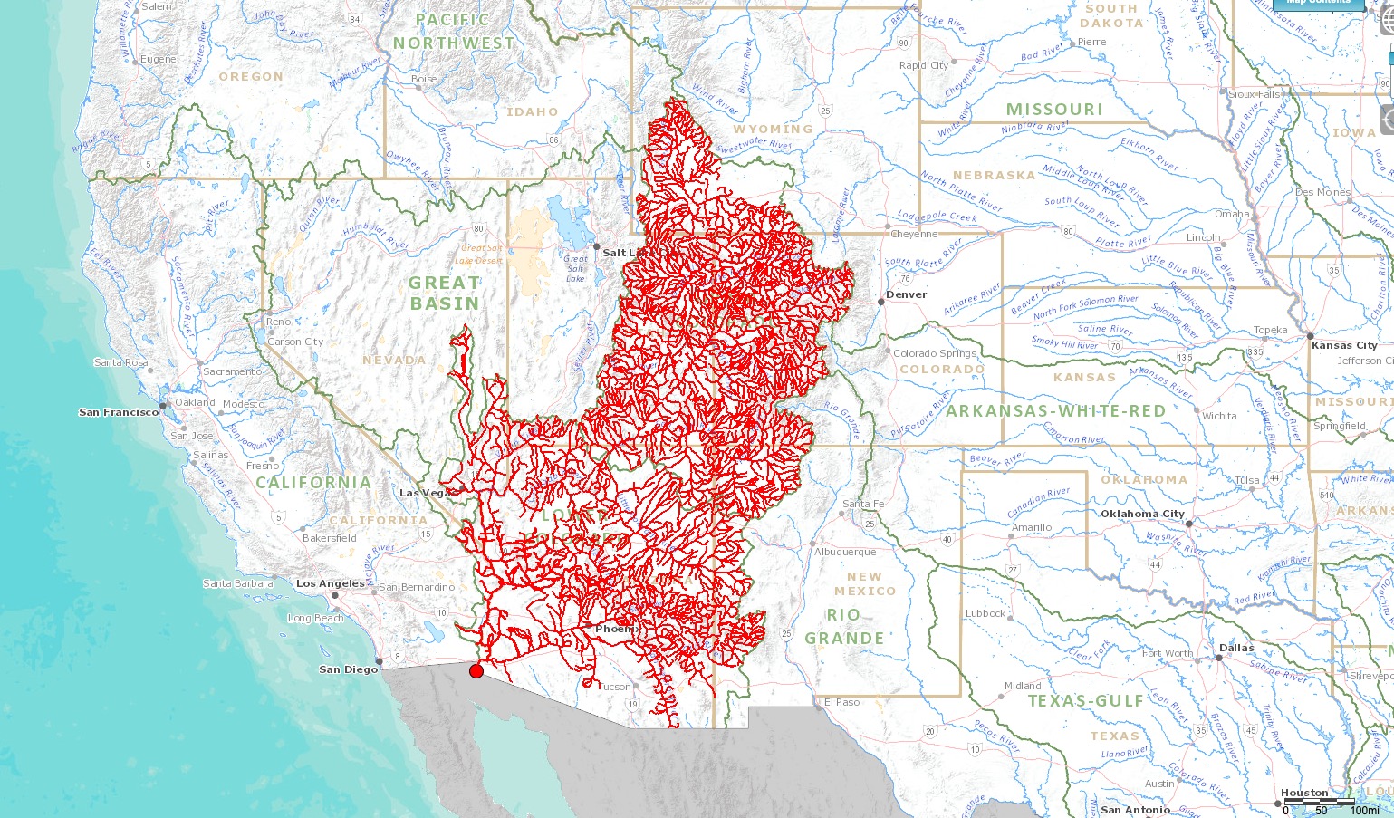
43,811 miles of streams
That’s right: the CRB in the United States is made up of more than 43,000 miles of named streams. Straighten those streams out and lay them end to end and they could wrap around the Earth at the equator almost two times.
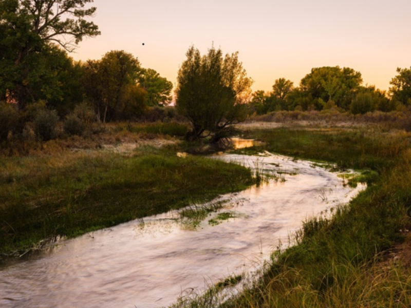
The Colorado River itself is 1,450 miles long, or just 3.3% of the basin’s river miles. There are 1,278 other named watercourses within the Colorado River Basin that make up the remainder of those miles of flowing water. Another way to think about it: nearly 97% of the riparian area in the CRB is on rivers and streams not named Colorado.
These figures make more sense when you learn that the CRB drains a land area of around 246,000 square miles, or 157.44 million acres. Most, but not all, of the 5.5 million acres of farmland irrigated with CRB water is included in those 157 million acres.
80 counties and 613 cities
CRB rivers and streams flow through 80 counties and more than 600 cities and towns! The total population of those 80 counties in 2010 was nearly 15 million. That means that CRB water makes life possible for more people who live outside of the basin than inside, with major metropolitan areas like Los Angeles, San Diego, Denver, Salt Lake City, and Albuquerque that are outside of the basin relying on water from the CRB.
1,401 gauges
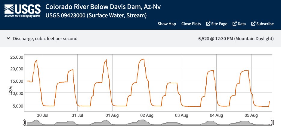
The USGS has data from more than 1,400 stream flow gauges along those 43,000+ miles of watercourse in the basin. Many of these stream gauges are uploading information about flows in real-time! You can explore this information on the USGS National Water Dashboard. At the time of this writing, for instance, the Colorado River at the outlet of Davis Dam on the Arizona-Nevada border was flowing at 6,520 cubic feet per second (cfs). At the same moment, more than 1,100 river miles northeast, just outside of Rocky Mountain National Park, the Colorado was flowing at 26.6 cfs.
Big numbers, big opportunity
These figures highlight the fact that while drought and population growth may be creating a dire situation in the CRB, there are also thousands of opportunities along the rivers and streams of the basin to make an impact on the system’s vitality.