Water Weekly for July 18th
WHAT TO READ IF YOU CAN ONLY READ THREE THINGS ABOUT WESTERN WATER THIS WEEK.
1. Climate change is punishing the Colorado River — and fueling devastating wildfires on the basin
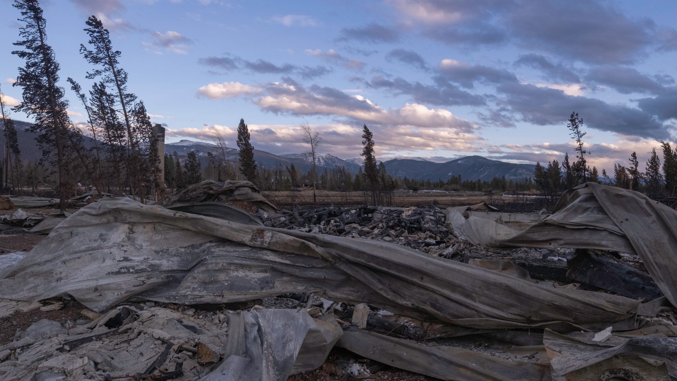
The devastating connection between climate change, wildfire and water availability in the Colorado River Basin is explored in this long-form piece from Denver Gazette reporter Stephanie Earls, accompanied by a four-minute video. The wildfires that scorched the headwaters of the Colorado River in 2020 will have “long-term” affects on the quality and quantity of water available in the system, says Northern Water spokesperson Jeff Stahla. (Northern Water operates the Colorado Big Thompson project that brings water from Lake Granby and other reservoirs under the continental divide to Front Range homes and agriculture.) By getting into the details of hydrophobic soils, post-fire monsoons, landslides and reservoir siltation, the piece exposes the interconnected nature of headwaters forest health and downstream water availability.
2. Build more houses! Use less water! California, can you have it both ways?
Columnist Teri Sforza of the Orange County Register digs into this apparent paradox in California policy, as the governor encourages more new housing to address the state’s housing crisis (it ranks 49th of 50 states for housing units per capita), while also imploring Californians to dramatically cut water use. But water officials say the two goals may not be as paradoxical as they seem, because new communities are so much more water efficient than their predecessors. “Interestingly, our drinking water use is down 10% despite a population increase of 13% since 2013,” said Nicole Stanfield, spokesperson for the Santa Margarita Water District. “New homes and communities are more efficient than ever…” Plus, when you look at the numbers, new housing is a “small puddle in the seas of purported water shortage.”
3. Beyond the Forecast: The Drought Monitor
In this helpful explainer from Jazmine Otey with 10News in Virginia, we learn the details behind the oft-cited and displayed national Drought Monitor maps that have come to symbolize the megadrought in the West. The U.S. Drought Monitor (or USDM for short) has been a joint project of the National Drought Mitigation Center in Lincoln, Nebraska, the National Oceanic and Atmospheric Administration (NOAA) and the Department of Agriculture (USDA) since 1999. Importantly, it deploys a wide variety of measurements, going far beyond weekly precipitation, to create a relative classification of drought, from D0 (abnormally dry) to D4 (exceptional drought) for a particular place. As Otey writes, “That means that a severe drought in New Mexico has a different absolute water amount in the ground than in Virginia.”
Water Weekly is a new regular roundup of Western Water stories that will live at the center of our new project On Land On Water, a commitment to covering this most critical of issues in the American West. Thanks to generous support from the Walton Family Foundation, On Land is able to bring you regular explanations, insights and stories focused on what landowners can and are doing to survive the ongoing drought and drying out of the West.
Get the Water Weekly in your Inbox each week.
