USDA-ARS Now Stewarding the Rangeland Analysis Platform
The Rangeland Analysis Platform has been revolutionizing rangeland management and monitoring since it was first launched in 2018. Better known as RAP, the dataset and online mapping tools allow users to access more than three decades of vegetation and production trends across the United States. Landowners, resource managers, conservationists, and scientists are using this data to inform land management planning, decision making, and the evaluation of conservation outcomes.
The powerful online platform was co-developed by researchers at the University of Montana, the Bureau of Land Management, and the USDA-Natural Resources Conservation Service through the Sage Grouse Initiative, Working Lands for Wildlife, and the USDA’s Agricultural Research Service, with support from the Intermountain West Joint Venture (part of the U.S. Fish and Wildlife Service) and the USDA’s Conservation Effects Assessment Project-Wildlife Component.
Following the incubation of this cutting-edge remote-sensing technology, USDA-ARS is now formally managing the scientific and technological advancements of the RAP. This management includes the 2022 map layers, which were released in March.
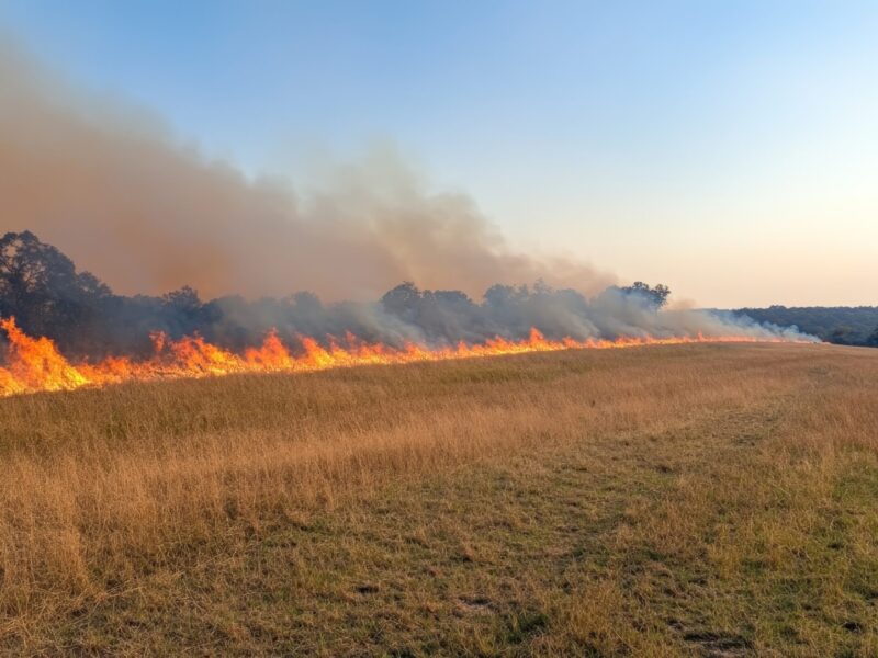
ARS Research Ecologist Sarah McCord, a member of the ARS team leading the RAP team at the Range Management Research Unit in Las Cruces, New Mexico, said, “RAP tracks how rangeland vegetation is changing over time. That provides vital information regarding the risk of wildfire, tree encroachment, and forage production, helping ranchers and managers adjust their management practices in more efficient and effective ways.”
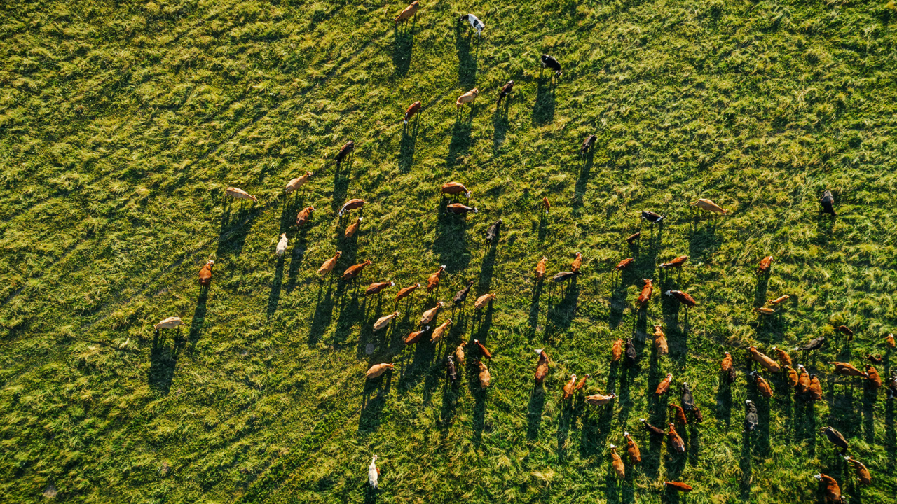
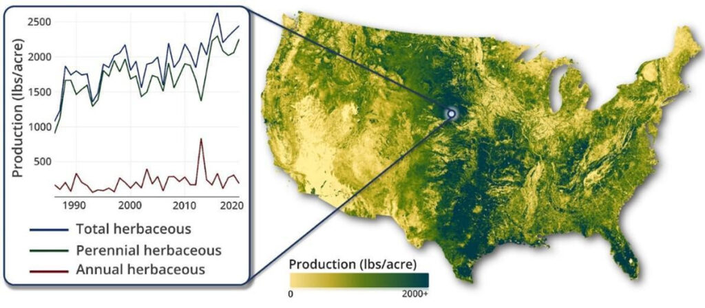
RAP users can assess trends in rangeland resources through time and space by using maps of rangeland vegetation cover and production, such as annual and perennial forbs and grasses, shrubs, and trees, dating back to the mid-1980s. RAP uses satellite imagery and advanced algorithms in Google Earth Engine to produce these long-term datasets across the continental U.S., which are updated every 16 days for vegetation production and used for annual estimation of vegetation cover.
Researchers from ARS and the University of Montana recently used RAP technology to help land managers assess vegetation trends on public lands and to assist private ranchers in maximizing their grass production. Other recent ARS and collaborator improvements to RAP have resulted in new vegetation models that allow land managers to forecast location-specific wildfire risk across the Great Basin.
The University of Montana and Working Lands for Wildlife incubated this application, and the platform has reached a point where it is ready to expand to a broader audience. ARS is the ideal vehicle to do that as the agency works to strengthen the connection between RAP and rangeland conservation across the country.
David Naugle, University of Montana, WLFW Science Advisor
“The University of Montana and Working Lands for Wildlife incubated this application, and the platform has reached a point where it is ready to expand to a broader audience. ARS is the ideal vehicle to do that as the agency works to strengthen the connection between RAP and rangeland conservation across the country. We are ecstatic that ARS will continue giving RAP to the world for the betterment of conservation, and we are grateful for the NRCS’s Conservation Effects Assessment Project-Wildlife Component’s early investment in RAP and for the Intermountain West Joint Venture’s contracting expertise of BLM resources to develop RAP,” said David Naugle, a University of Montana professor who contributed to RAP development on behalf of the NRCS.
For its part, ARS is excited to advance RAP in coordination with new and existing partners, including the USDA-ARS Partnerships for Data Innovation, the University of Montana, NRCS, WLFW, the BLM, and the USFWS.
“ARS has been a long-standing partner on RAP, and we look forward to taking on this new role,” said McCord. “ARS will keep the dataset updated and accessible to users and develop innovative applications for the technology to monitor changes, advance research, and bring a deeper understanding of the many ways rangelands are both resilient and at risk.”
The Rangelands Analysis Platform can be accessed at rangelands.app where users can also find the associated online tools. Both RAP and those tools are also available at www.wlfw.org/science/tools-maps-and-apps/.