Rangeland monitoring – why to monitor and resources to get you started
The value of monitoring land attributes are generally known among land stewards. The greatest value is in gaining an understanding of the soils, plants and animals you manage, documenting that information and then using that information to guide future decisions.
Questions to consider when setting up a monitoring plan
- What are your objectives for the land and your operation?
- What monitoring techniques – including where, when and how often to monitor – will show you if you are meeting or making progress towards meeting your objectives?
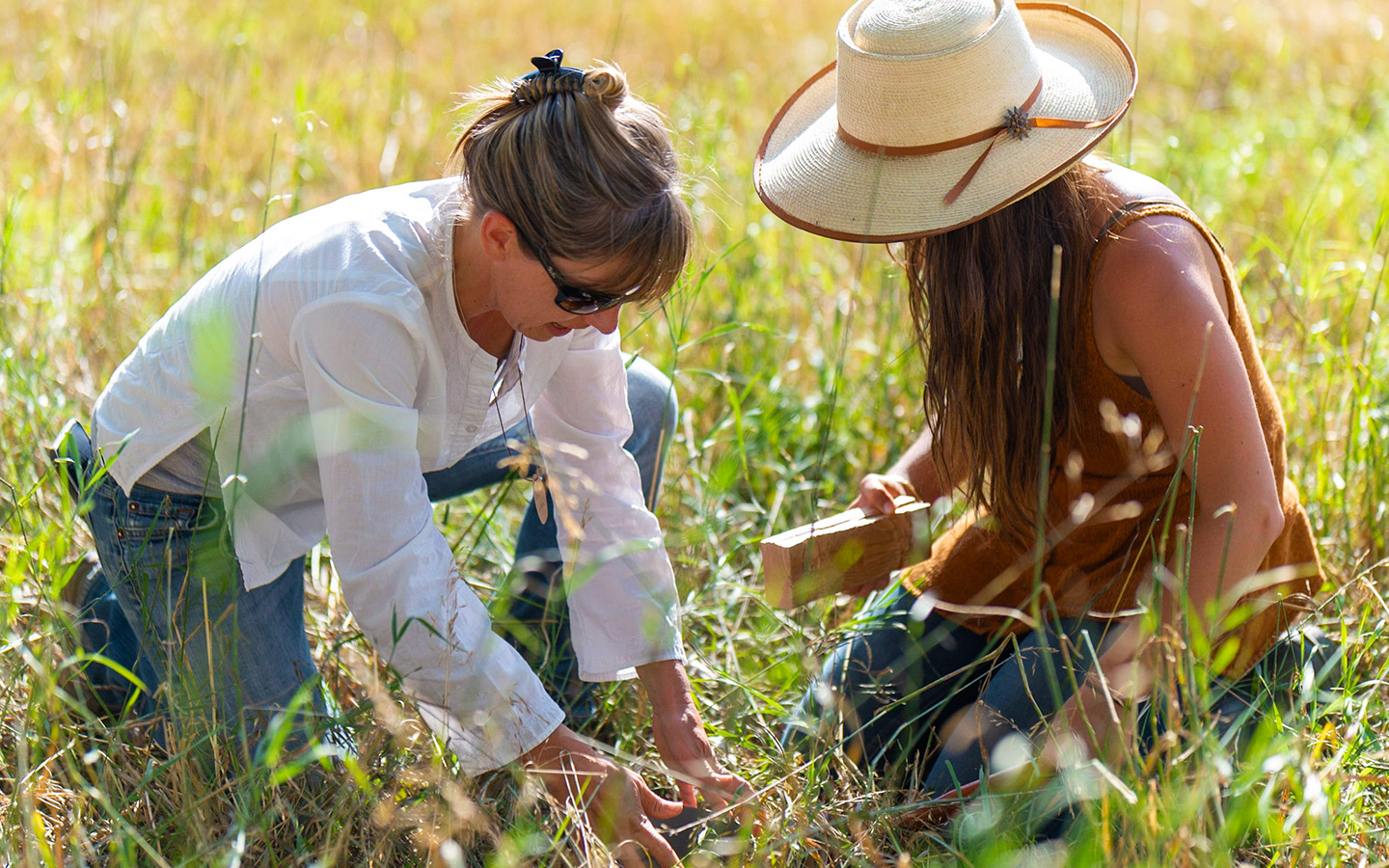
- Who will get out on the ground and monitor?
- Who will analyze the data collected?
- How will you utilize monitoring data to inform management decisions?
If you operate on federally managed lands, you may want to consider setting up a monitoring program on those lands as well. Many livestock producers across the West have embraced cooperative monitoring with their federal partners. I know what you’re thinking. “That sure sounds nice, but what is cooperative monitoring and why should I do it?” Cooperative monitoring basically means that livestock producers who hold federal grazing permits or leases are monitoring in partnership with the federal agency that holds that permit.
The goal of cooperative monitoring is to work in a collaborative nature to develop outcomes, monitor for those outcomes, analyze data and utilize that data to make land management and livestock grazing management decisions. Key components of joint cooperative monitoring include building trust, agreeing on monitoring methods, agreeing to accept data collected and utilizing that data in decision making processes. Incorporating cooperative monitoring into federal land management processes increases certainty in decision making, sustains and improves land health, protects agricultural pursuits and could increase operational flexibility.
One reason to monitor cooperatively is to share the workload. Setting up and implementing a monitoring plan takes time and resources. When you are tending to the work of running an operation, from day-to-day tasks to long-term planning, it is difficult to complete the work of monitoring. Monitoring cooperatively builds capacity – not to mention brain power – to complete the task.
Joint cooperative monitoring, when implemented through programs such as the Wyoming Department of Agriculture’s Rangeland Health Assessment Program, on federally administered public lands adds benefits beyond capacity. Importantly, it includes an agreement between the federal land management agency and the producer that data collected will be accepted. This means that agreed upon data can be utilized in environmental analysis and decision making on federal lands and across intermingled land ownerships. Reliable data certainly leads to durable decisions.
There are a variety of resources available to assist you in your monitoring endeavors. From state programs to remote sensing to monitoring guides, the list below is just a sample of the information available. You can also reach out to your local USDA-NRCS office, conservation district, county extension, Savory hub or federal land management agency for assistance.
Resources
Statewide rangeland monitoring programs
- Idaho – https://agri.idaho.gov/main/animals/range-management-program/
- Nevada – http://agri.nv.gov/Plant/Rangeland_Health/Rangeland_Health_About/
- Wyoming – https://wyagric.state.wy.us/divisions/nrp/rangeland-health
Monitoring guides
- The Wyoming Rangeland Monitoring Guide contains practical monitoring techniques for cooperative monitoring and is provided in a format that is easy to print and carry in your saddlebag.
- University of Arizona Cooperative Extension Rangeland Monitoring website provides a comprehensive list of guides and tools for monitoring.
Remote sensing information
- The Rangeland Analysis Platform is a free online tool that provides users with snapshots of vegetation and shows trends in rangeland resources over time.
The author also welcomes questions directly via email.
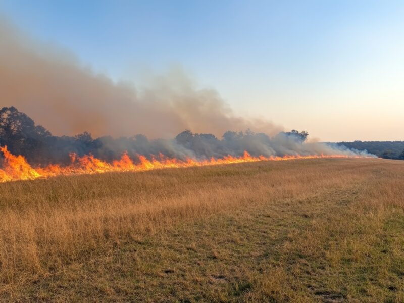
Photo by Elaine Patarini.