The Wetland Evaluation Tool (WET) from IWJV
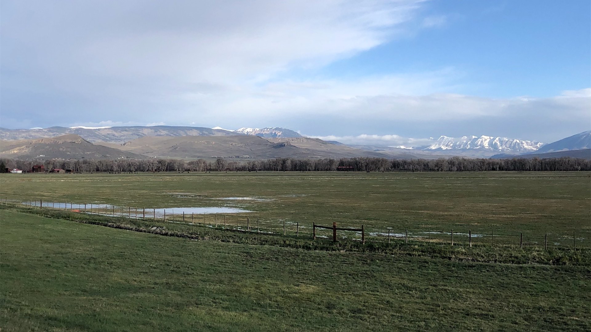
Recent research looking at key snowmelt-driven watersheds access the West estimated that 61% of wetlands are associated with irrigated agriculture. Many of these are temporary and seasonal wetlands sustained by flood irrigation in areas where natural wetlands were once historically located.
A new wetland mapping tool enables land managers to better understand wetland habitat by illustrating where water exists in space and time. The Wetland Evaluation Tool (WET) allows users to access over 30 years of data to map changes in surface water across the Intermountain West, as well as changes in hydroperiods (how long each wetland is flooded for each year) and the overall resiliency of wetlands (if wetlands are getting wetter or drier over time).
“WET shows the significant wetland footprint that’s associated with irrigated agricultural land, as well as the important wetland diversity that exists between public and private lands,” said Erica Hansen, Science to Implementation Specialist for the Intermountain West Joint Venture, which developed the tool. “This science is really just reinforcing what many folks already knew—working agriculture plays a crucial role in healthy landscapes.”
For more information on WET, visit https://iwjv.org/solution-based-science/wet/