Any national maps of conservation need to come from local communities
Of all the components of the Conserving and Restoring America the Beautiful Initiative (which includes the Biden administration’s goal to conserve 30% of land and water by the year 2030), the Conservation and Stewardship Atlas (Atlas) could be the most controversial. The Atlas, in the words of the administration, will “collect baseline information on the amount and types of lands and waters that are being managed for conservation and restoration purposes.”
Many landowners and agricultural producers have justifiable questions and concerns about the Atlas. What will “count” toward the conservation goal? How will that be decided? Who gets to decide? How will information about conservation on private land be mapped and used? To this point, answers to these questions remain elusive, even as the administration recently rolled out a one-year progress report on the initiative and opened up a comment period to collect input from the public on how to develop the Atlas.
When it comes to these questions, the process for arriving at answers may be just as important as the answers themselves. And while there are potential opportunities and drawbacks to developing an Atlas, if the tool is to be created, it is crucially important that it not be a top-down exercise but something that is informed and supported by local communities. One way to do that is through a voluntary process of “participatory mapping,” combined with existing county and state planning and mapping efforts.
The key principles of a participatory mapping approach when it comes to the Atlas are:
- Ensure that the Atlas is used to help inform decision making and resource prioritization but is not prescriptive.
- Ensure data privacy protection, particularly when it comes to private lands.
- Develop a dynamic process that allows for durability across administrations and centers the process on community priorities, not political objectives.
- Create incentives or economic and technical support for communities to participate and develop maps through participatory processes.
- Use multiple layers to explore and portray different community-based and ecological values.
- Query communities on how their priorities intersect with the values and goals of the America the Beautiful Initiative.
Shaping America the Beautiful and the future of conservation
Western Landowners Alliance is convening monthly dialogues between a diverse set of landowners, organizations and members of the administration to inform the development and implementation of the America the Beautiful Initiative. This article shares a key conclusion/recommendation that emerged from the first workshop in the series, held in December 2021. As a landowner-led organization committed to sustaining working lands, conservation and stewardship, we believe it is critical that the future of conservation be defined in dialogue with working lands stewards.
While this approach may not be possible in every community across the country, if the administration is serious about the America the Beautiful Initiative being a locally-led conservation effort, it has to start with a community-based approach to defining the terms of conservation under the Atlas. Here is how it could work.
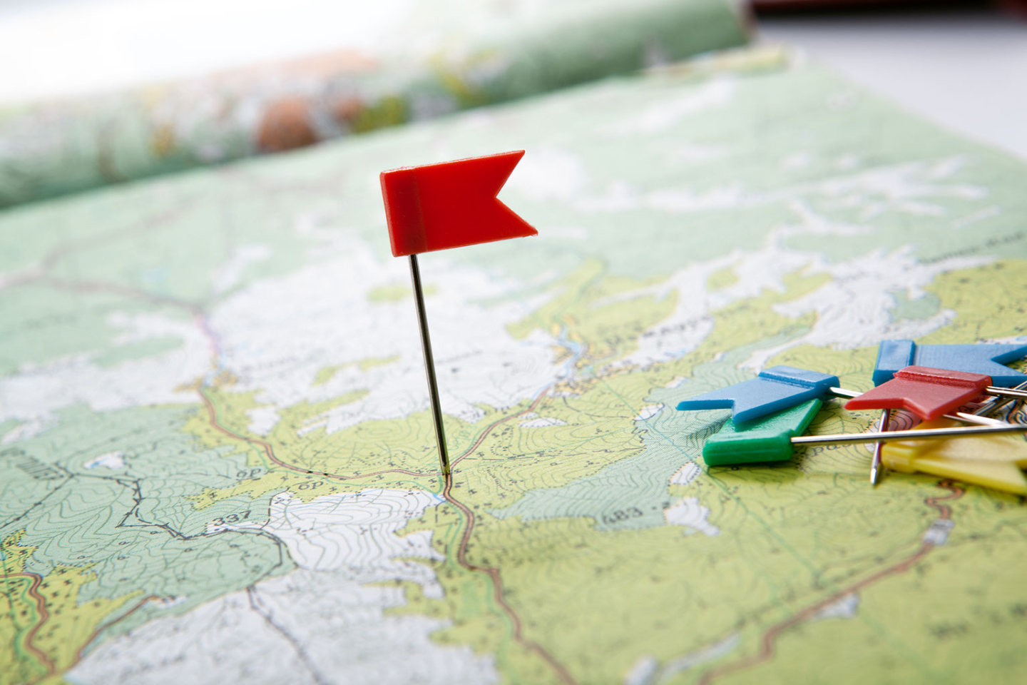
- Create voluntary opportunities and provide support for local governments and community members to participate in identifying and prioritizing the values the community may wish to conserve. These may include watershed health, agriculture, recreation opportunities, forest health, cultural sites or any number of things. When combined with other mapping layers, these become a powerful visual tool to demonstrate what and where is important.
- Once community values and biological/ecological layers of the Atlas are integrated, identify those areas with a high degree of overlap and prioritize them for support.
- Include in the process an opportunity for local government and stakeholders to identify the types of tools and support they prefer in conserving community-identified values. For example, support could come in the form of federal grants, targeted farm bill programs, technical assistance, shared stewardship agreements, federal land management priorities or regulatory assurances for voluntary conservation, among others.
Public mapping processes are often a concern for landowners due to legitimate fears around privacy and regulatory implications. At the same time, many landowners and local communities are actively seeking incentive-based approaches to conserve remaining farms, ranches and natural areas that are important to them. Participatory mapping, with the right support, can help local communities and stakeholders identify and conserve places and values they care most about.
A participatory mapping approach, combined with similar ongoing state and county efforts, provides the foundation for the America the Beautiful Initiative to ultimately support, not inhibit, working lands stewardship.


