It’s late in the summer of 2021, and I’m midway through day
two of our four-day trip down the Yellowstone River. There isn’t another
boat in sight. It’s calm enough to ride a stand-up paddle board, and the
waters’ glassy surface bounces a reflection of our rafts up into my camera.
I’m familiar with the Yellowstone River, but not this Yellowstone River. I live near Livingston, Montana, where the Yellowstone flows out of the Paradise Valley about 200 river miles west of here, and I can’t believe this is the same river. Where are the flotillas of tourists on guided raft trips? Where are the college students drinking beers in inner tubes? Where are the decked-out anglers in their drift boats?
Here, it’s quiet enough to hear the oars in the water and the chatter of bald eagles sitting near their nests. The riverbanks are lined with towering old cottonwoods on either side, and snaking, wide side channels are full of their own sandy forests.
I’ve joined a working float trip with the staff of Montana Freshwater Partners (MFP), an organization that works with landowners to restore and protect natural river movements like these connected side channels (among many other things). Wendy Weaver, director of MFP, and her team have pioneered an innovative instrument for this work, the channel migration zone or flood plain easement. This trip is a monitoring expedition to a stretch of the Yellowstone that MFP has held such an easement on for five years.
Flood prone
or flood plain?
Channel migration easements protect river corridors by ensuring that present and future landowners keep the natural movement and functions of a river intact. Montana’s rivers need access to their flood plains. If they don’t have it, they can be prone to taking it back without asking.
That’s just what we saw happen in June of 2022. The Yellowstone River, swollen by heavy rains that rapidly melted the snowpack, overtopped its banks at historic levels. The rushing waters tore out bridges, consumed roadways and inundated homes and ranch buildings. Intact and functioning side channels in these upper stretches of the river would have absorbed more of the water and dissipated its destructive force. Of course, in that case, there would have been fewer bridges and roadways in the flood plain to be washed away to begin with.
Wide, functional flood plains also help protect against climate change and provide wildfire resiliency. With the changing climate in the West driving increasing frequency and intensity of wildfire, drought and flood, healthy riparian systems are a cornerstone of resilience, for both ecosystems and human infrastructure.
“With this unprecedented flood event that unfolded this year, we now have an opportunity to rebuild in a way that truly creates future river resiliency,” Weaver said. “How can we rebuild in a way that ultimately allows the river to roam across its flood plain? How do we do it in a way that supports ecological health and biodiversity? Mother Nature has given us the opportunity to think about the bigger picture in the face of climate change, so our communities don’t have to experience this devastation again.”
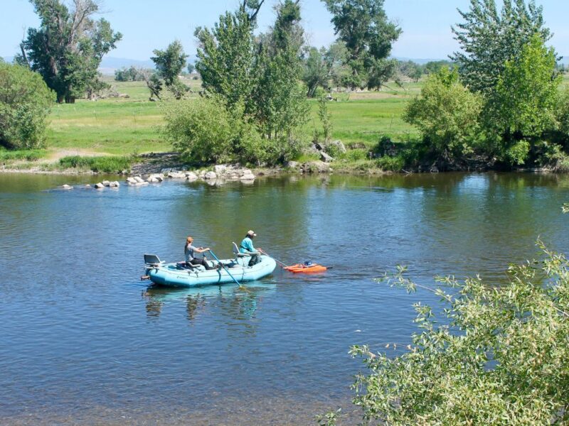
Montana Freshwater Partners’ rafts rest on the bank of the middle Yellowstone River during a monitoring trip in 2021. Photo by Becca Skinner. 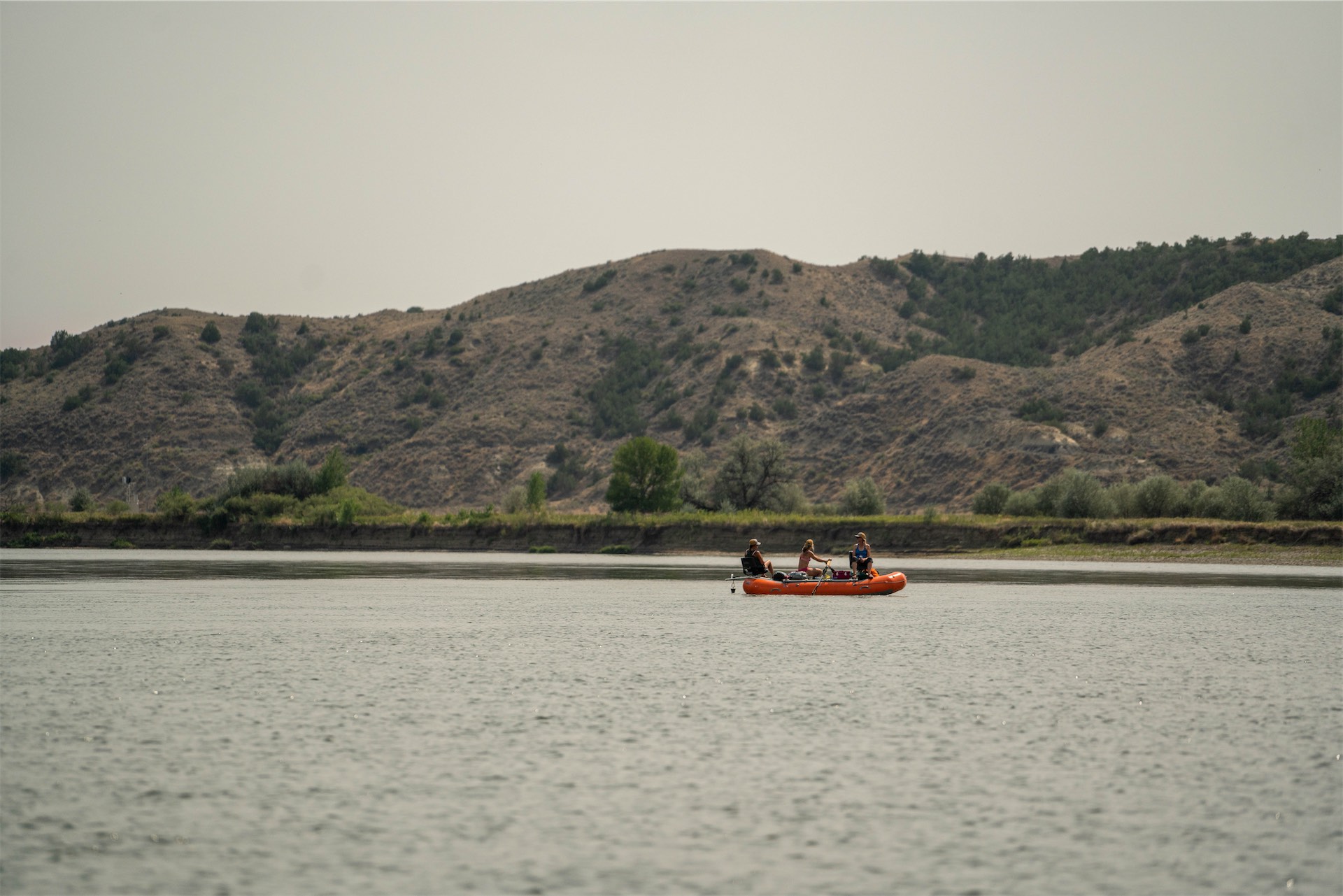
Montana Freshwater Partners staff oar a raft down the Yellowstone River in 2021 beneath smokey skies as they survey a stream channel easement the organization holds on this stretch of the river. 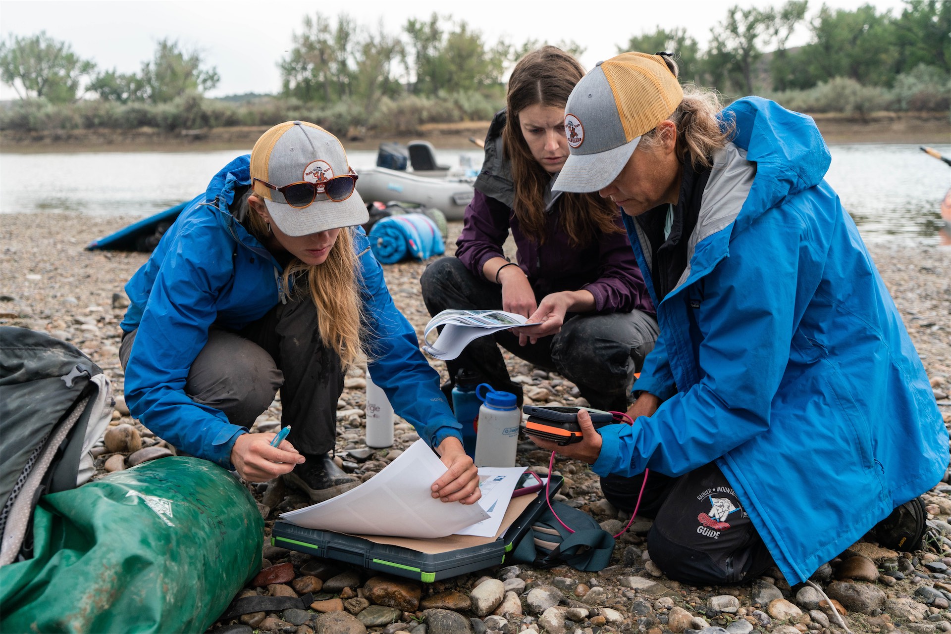
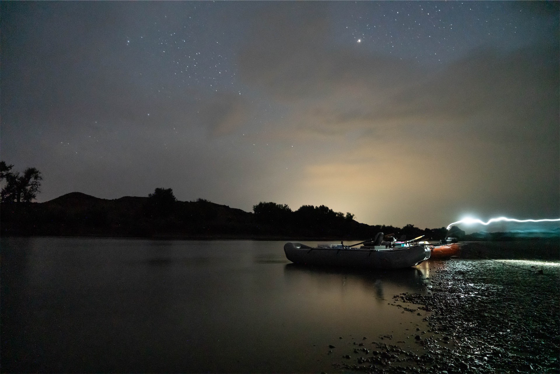
Montana Freshwater Partners staff note photo points and data on their monitoring forms along the Yellowstone.
Deflecting
future floods
Landowners who work with MFP are looking for an alternative to riprapping, or channelizing riverbanks. Riprap is meant to harden riverbanks by putting heavy objects like boulders, concrete blocks or even old vehicles along the edges of the watercourse to slow bank erosion. It has been common practice for centuries. But hydrologists now understand that riprapping actually causes far more erosion in the long term, only it tends to push the problem downstream and out of view. This is because riprap tends to accelerate flows, which reduces sediment settlement, increasing the stream’s scouring of the channel, which further incises the channel, eventually cutting it off from its flood plain entirely and increasing the scouring effect downstream.
In an ideal world, we would replace most riprap with marshy flood plains and copious side channels. As this springs floods on the Yellowstone showed, the river may just decide for us. In reality, we can’t move or elevate every road that cuts along Yellowstone’s flood plain. But, where that flood plain is on a private ranch, if a landowner can be compensated for protecting this river migration corridor, we might be able to knock out enough riprap to deflect future catastrophic washouts. A happy side effect: restoring the rich riparian habitats that once abounded on these beaver dam-choked streams.
As Weaver told me, “Flood plain or channel migration zone easements are an incentive-based tool to protect flood plain corridors without regulation. They’re really a win-win strategy for the river and landowners.”
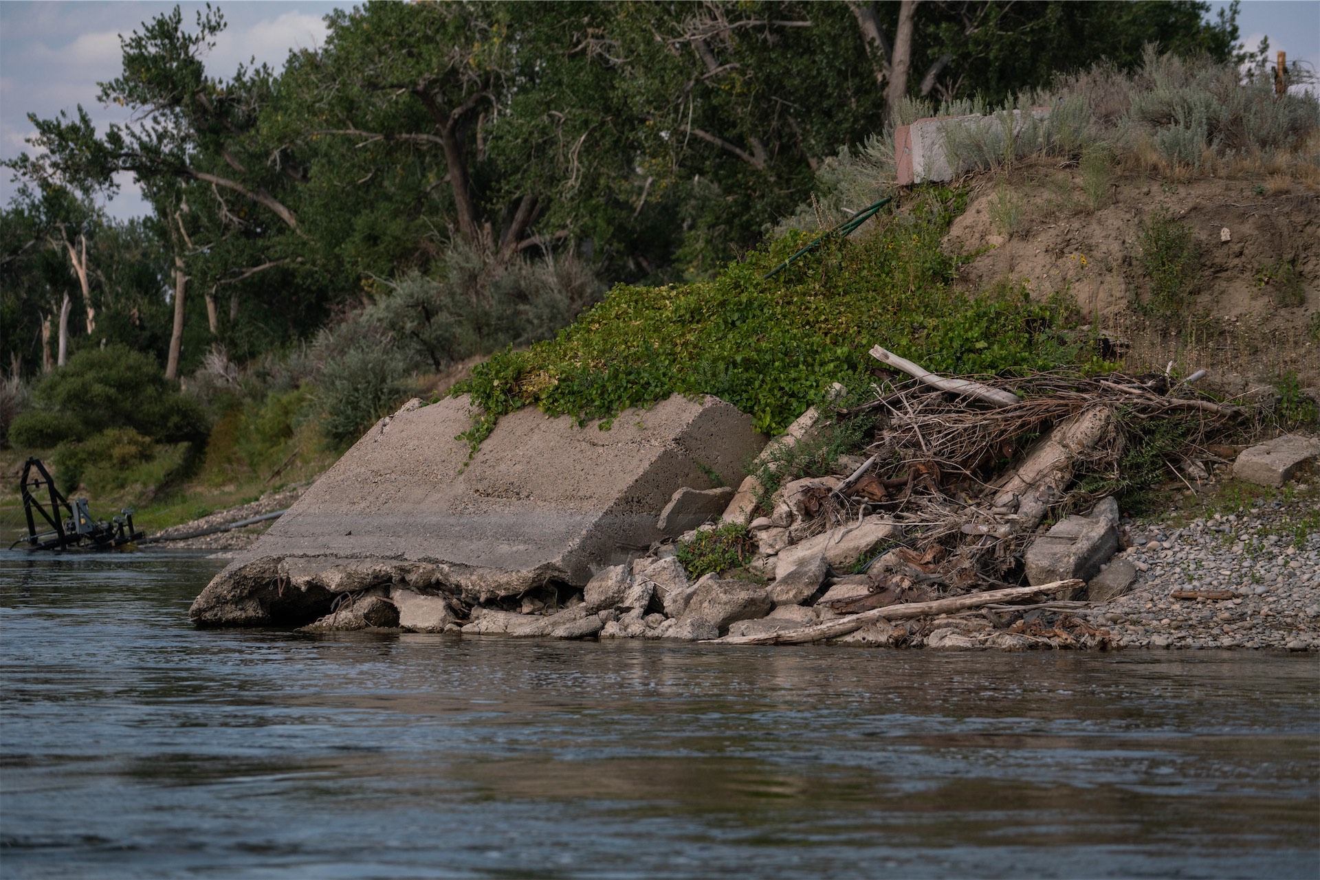
Riprap like the concrete blocks above is meant to harden riverbanks by putting heavy objects along the edges of the watercourse to slow bank erosion. 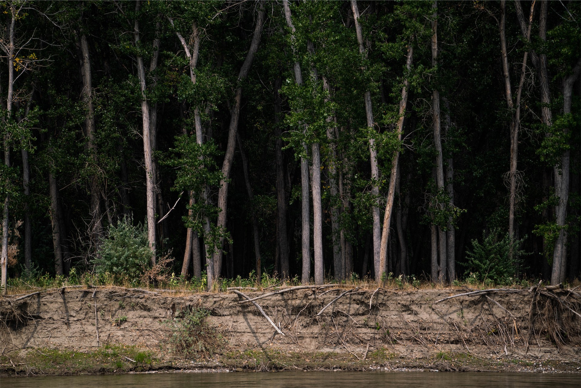
It has been common practice for centuries. But hydrologists now understand that riprapping actually causes far more erosion in the long term, only it tends to push the problem downstream. The natural replacement? Willows. 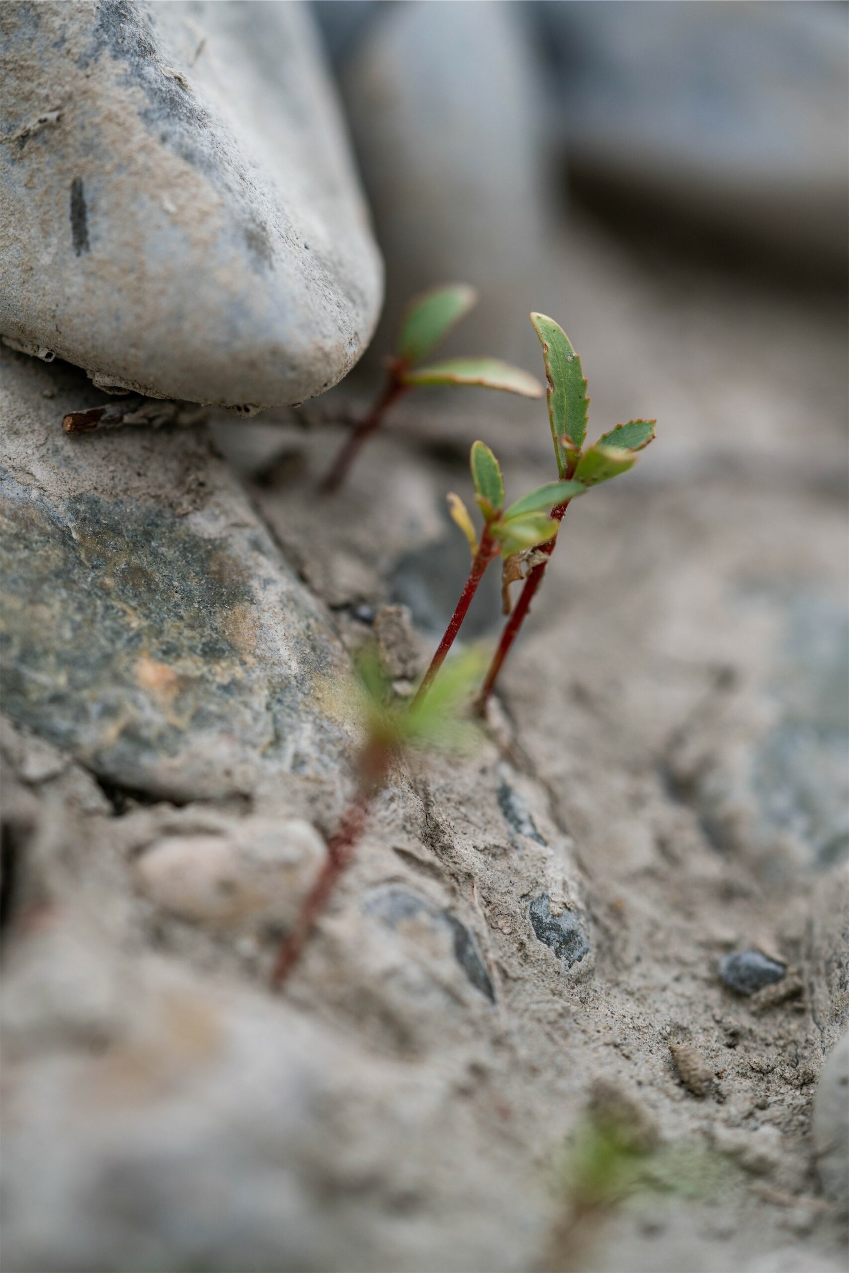
The natural replacement? Willows.
Willows in,
riprap out
Back on the lower Yellowstone in the summer of 2021, our group checks the GPS pins to make sure we are in the right place, and then beaches the boats on a sandy island midstream to start unloading gear. At first glance, this island looks like any other riverbank that you might see from a boat, with a sandy front beach with rows of tiny, growing willows. The new growth of willows is great to see. If they survive, they are the next line of defense for riverbank ecosystems. With their extensive root systems, willows help stabilize soil to prevent erosion during flooding.
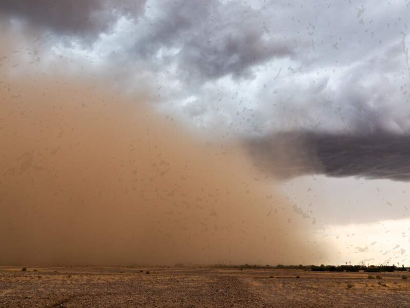
After we set up the tents, we power on the GPS again to navigate to the photo locations from the previous surveys. I’m here to help document the process but also to capture the photo points this year. It is a particularly hot and dry summer. More than 900,000 acres of Montana will burn in one of the state’s worst wildfire seasons of the 21st century. By mid-May, the air is filled with smoke. The haze hangs over the river like a milky blanket.
Jeannette Blank, project director at MFP, joins me as I walk to a photo point. As we walk, she helps me understand how this year’s environment compares with what they’d observed in previous years. “The years where the vegetation is more sparse and stunted are actually the wetter years, where the ground was inundated with shallow water for longer periods of time, which suppresses vegetation growth but offers important aquatic habitat resources,” she explains. “During the drier years, we see more vegetation because there is less standing water, which allows for seedlings to take hold and mature into larger plants. So in a dry year, this back channel provides a vegetated haven of food and cover for wildlife.”
As we arrive at the photo point, I note that despite the apocalyptic gloom and above-average temperatures, a hundred feet into the side channel, the wetland teems with life. The whole place sings with crickets. The birds are feasting on ample insects, and the spongy surface provides bright green foliage for deer and elk to browse after they grab a drink.
This may be nothing like the Yellowstone I am familiar with, but as more landowners partner with MFP and other groups on projects like this one, Weaver and Blank hope it can be the Yellowstone we all get to enjoy in the future.
Do you love the Yellowstone?
Even before the flooding in June 2022, Montana Freshwater Partners had teamed up with other Yellowstone River Valley nonprofits to ready The Yellowstone River Stewardship Campaign, a community-based way for all river users to support stewardship projects on the river.